AAUA Inaugural Lecture: Ogunbadewa Highlights the Potential of GIS in Addressing Nigeria’s Security, Agricultural, and Environmental Challenges
A Professor of Environmental Remote Sensing and Geographic Information Systems (GIS) at Adekunle Ajasin University, Akungba Akoko, Prof. Ebenezer Yemi Ogunbadewa, has emphasised the necessity of establishing a national geospatial agency to coordinate the development and application of GIS to address various challenges facing Nigeria.
Prof. Ogunbadewa also called on the Ondo State Government to create a State Geographic Information System (SGIS) to harness its potential benefits.
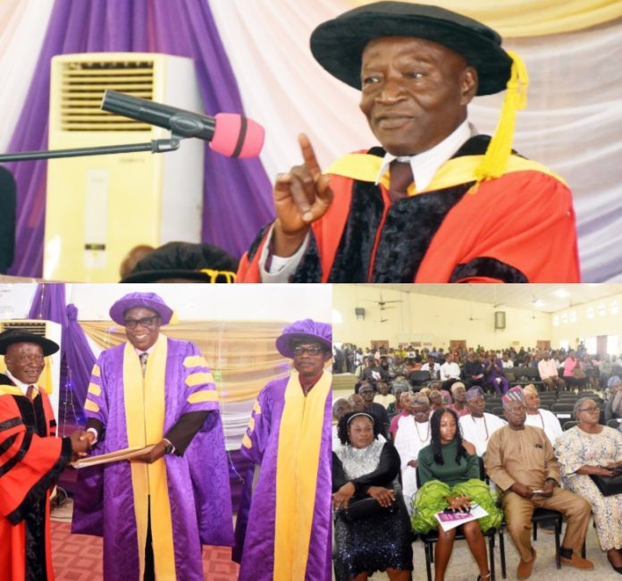
Prof. Ogunbadewa made these recommendations on Tuesday, June 25, 2024, during the 25th Inaugural Lecture of the University, titled, Visualization Without Barriers: The Quintessence of Geospatial Technology in Environmental Management.
The Inaugural Lecturer, who defined GIS as a computer-based system that has the capabilities to input, store, manipulate, analyse, and display output of geographically (spatially) referenced information about anywhere on the earths surface in a database system using appropriate software, said, Governments at all levels should develop geospatial data infrastructure for storage, management, and sharing of geospatial information; build capacity and expertise through training and education programmes which in turn will benefit our environmental health, security, satellite revisits period, natural resources management, climate change, disaster management, agriculture, and forest management, among many others.
He highlighted GIS’s role in educational administration through online classes, attendance tracking, and enrollment projections, as well as in healthcare for epidemiology, needs analysis, and service inventory.
“In security enforcement, GIS is beneficial for surveillance, intelligence gathering, smart barcodes, creating virtual boundaries, and crime spot identification’ he said.
The Inaugural Lecturer also pointed out that GIS is also useful in election results transmission and analysis, voter registration, infrastructure planning, maintenance, business management through demographic and market analysis, and site selection.
He further called for the development of policies and regulations to support the use of GIS and protect privacy and security, while recommending integrating geospatial technology with artificial intelligence (AI), the Internet of Things (IoT), and unmanned aircraft systems like drones.
He also emphasised adequate support for research and development to enhance technology applications and collaboration with international organizations to share knowledge and best practices.
Prof. Ogunbadewa noted that the future of geospatial technology is promising, with the potential to improve how global environmental challenges are addressed by providing a more coordinated, connected, informed, and sustainable context for optimizing decision-making processes and offering clear views without hindrance.
Earlier, the Chairman of the event and Vice Chancellor of Adekunle Ajasin University, Akungba Akoko, Prof. Olugbenga Ige, noted that inaugural lectures are opportunities for professors to share their research findings and ideas for the benefit of society and to propose solutions to societal needs.
He acknowledged the Lecturer as an eminent scholar whose wealth of experience would undoubtedly benefit society.